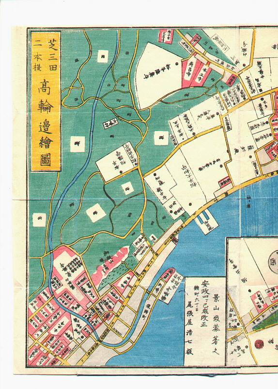
Japanese Print "Map of Edo, Takawara Area - Kirie Zu" by Unknown
Artist:Unknown
Title:Map of Edo, Takawara Area - Kirie Zu
Date:1861.
Details:The original auction page is no longer publicly available. More information about this print can be found in the Artelino archive (free account required).
Source:artelino - Japanese Prints
Browse all 24,751 prints...
Description:
"Kiri-e Zu; Shiba Takawara E Zu" This is one of so-called, "Owariya Ban Kiri-e Zu". They consist of 31 folded maps of different parts of Edo, published one by one during 1850-1865 by Owariya. Red color indicates temple, shrine and Buddhist related areas. Grays are housing areas. Green is farms and forests. Several large palaces of feudal lords are indicated with their family crests.